Geophysical
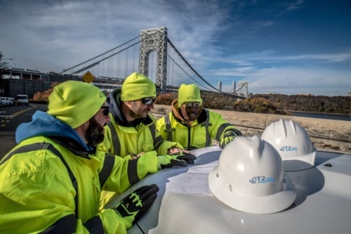
Kiwa’s deep geotechnical and geophysical experience, delivered by Raba Kistner and T2 Utility Engineers (T2) professionals, provide clients with scientifically robust foundational data to support successful project construction. Geophysical techniques complement traditional methods of underground utility investigation and allow the targeted use of non-invasive technologies to image subsurface conditions through measuring, analyzing and interpreting physical properties. Our skilled teams offer advanced geophysics to collect reliable data for use in infrastructure planning, archaeological, and environmental uses. We apply our experience and knowledge to recommend the right methods to deliver clear, actionable data that reduces uncertainty.
Core Geophysical Offerings
- Subsurface investigations
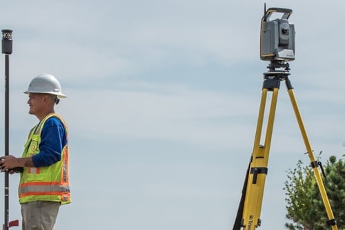
- Survey‑grade GPS and total station surveying
- Buried tanks, chambers, tracks, other anomalies
- Concrete scanning and structural imaging
- Voids, cavities, karst features
- 3D visualization and digital data integration
- Geologic structural feature testing and detection
- Containment pathways
- Subsurface stratification and bedrock transitions
- Engineering geologic analyses
- GIS, CAD, and BIM‑ready mapping
Advanced Geophysical Methods
- Ground Penetrating Radar (GPR)
- Multi-channel MCGPR)
- LiDAR
- Enhanced UAS – Drone aerial data collection
- Electromagnetic (EM) locating
- Magnetometry
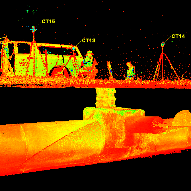
Advanced geospatial surveying and mapping
Advanced geospatial surveying and mapping services begin with site-specific data collection by highly trained and technically outfitted field technicians following rigorous data collection and Quality Assurance procedures. The data flows through processing and analysis. Professional judgment, knowledge of local jurisdictional requirements, insights are added to prepare reliable deliverables.
Core Geospatial offerings
- As-Built Records / ASCE 75 Standard
- Transportation / Right of Way survey
- Design surveys
- Utility mapping, designation, and verification
- Subsurface imaging
- No-entry confined space scanning
- GIS asset management
We produce deliverables compatible with:
- GIS
- CAD
- BIM
- 3D digital twins
- Asset management systems
- ASCE 75 / As-Built records
- ASCE 38
This comprehensive approach ensures accurate mapping of utilities, ground conditions, and surface features—reducing uncertainty and improving project outcomes.